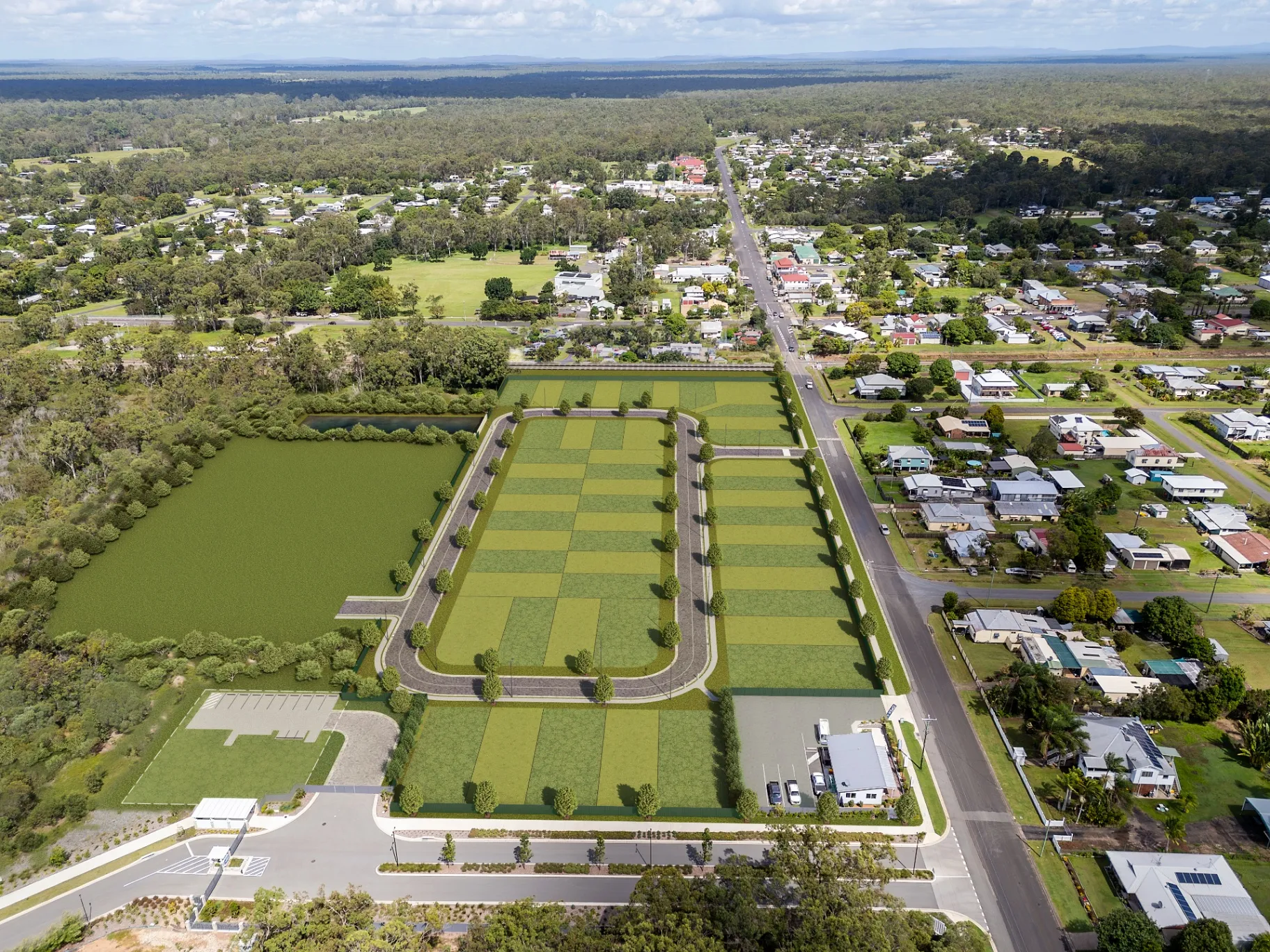
Aerial and masterplan visuals
The approach
Masterplan imagery has a different job to a hero render. It has to explain a site — how it sits in its context, how it is staged, where the landscape and movement networks go — while still being attractive enough to sell from. We build these on real survey and context data, so what surrounds your development is genuinely what is there.
What you receive
- Aerial render built on accurate site and context data
- Surrounding built context modeled to real massing
- Full landscape and public-domain treatment
- Staging overlays for multi-stage releases
- Print resolution for hoardings and sales boards
- Three rounds of revision included
All prices in USD.
Examples
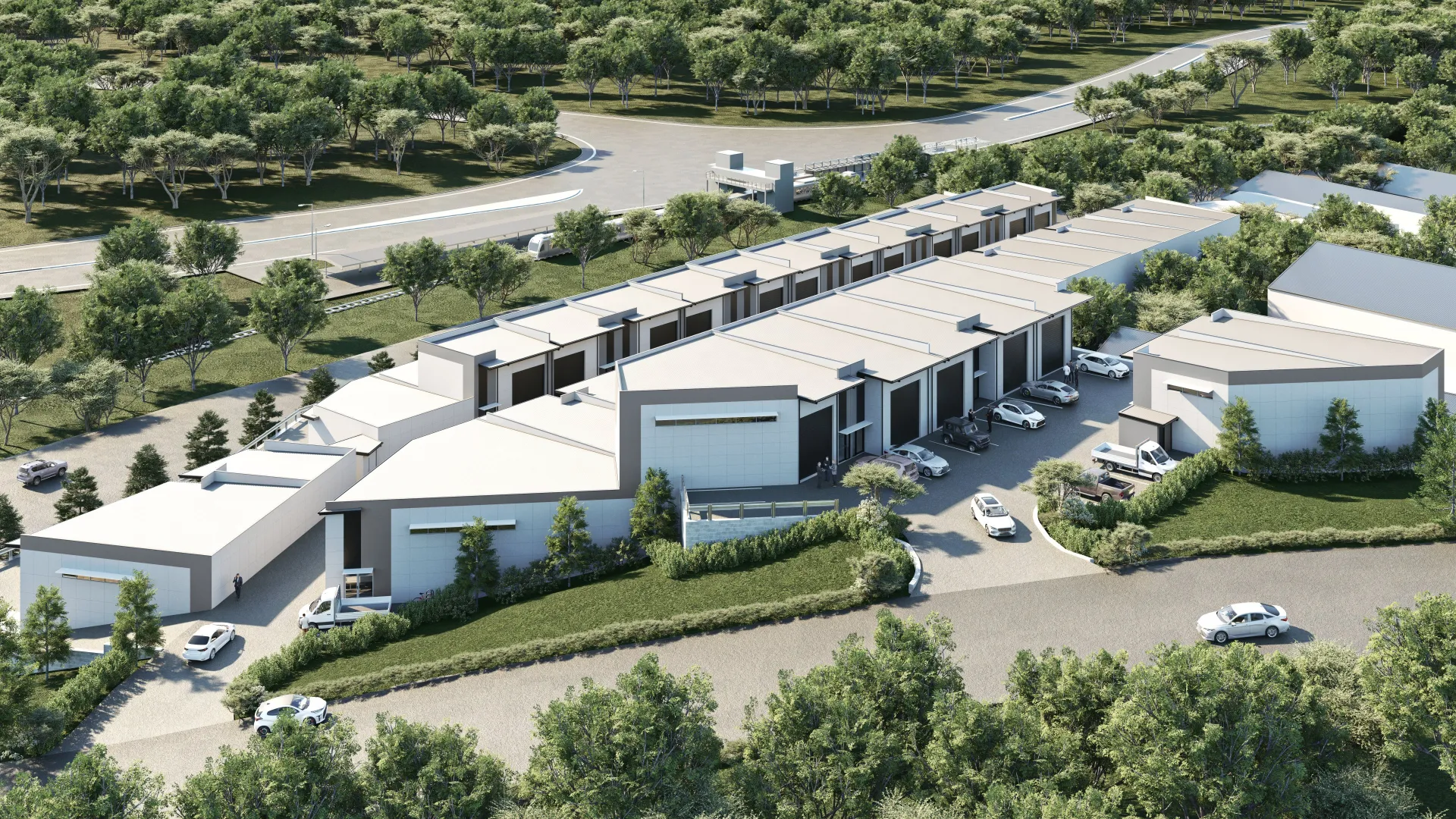
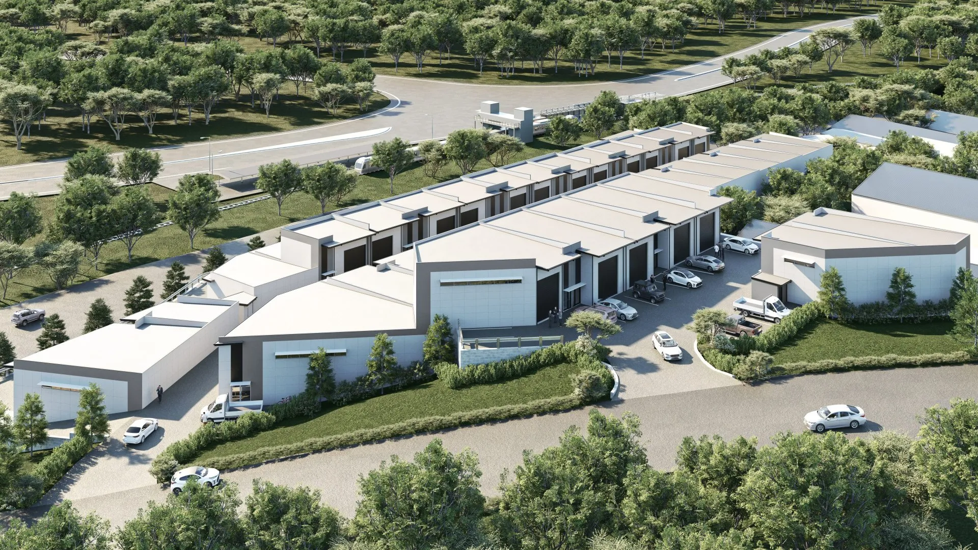
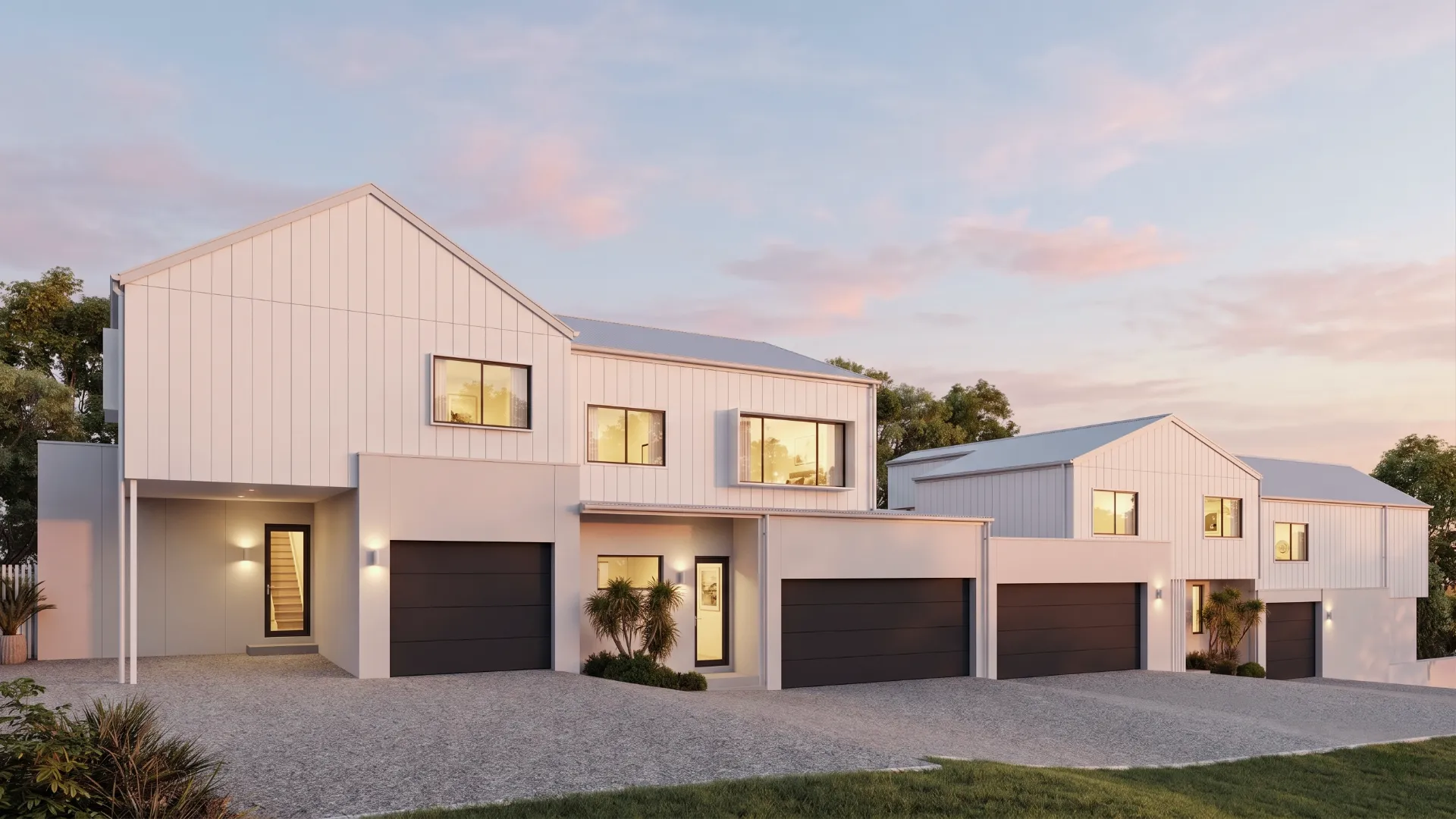
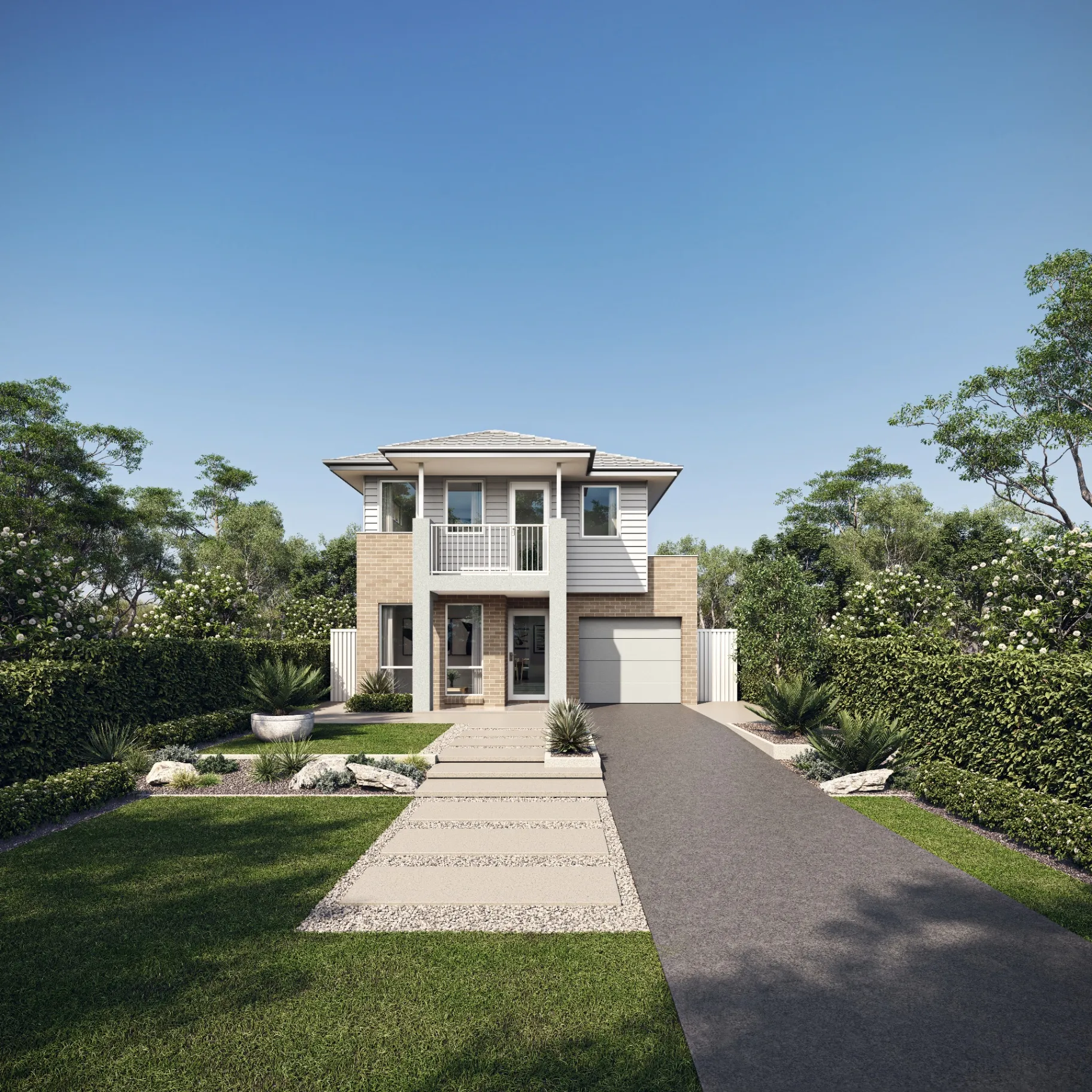
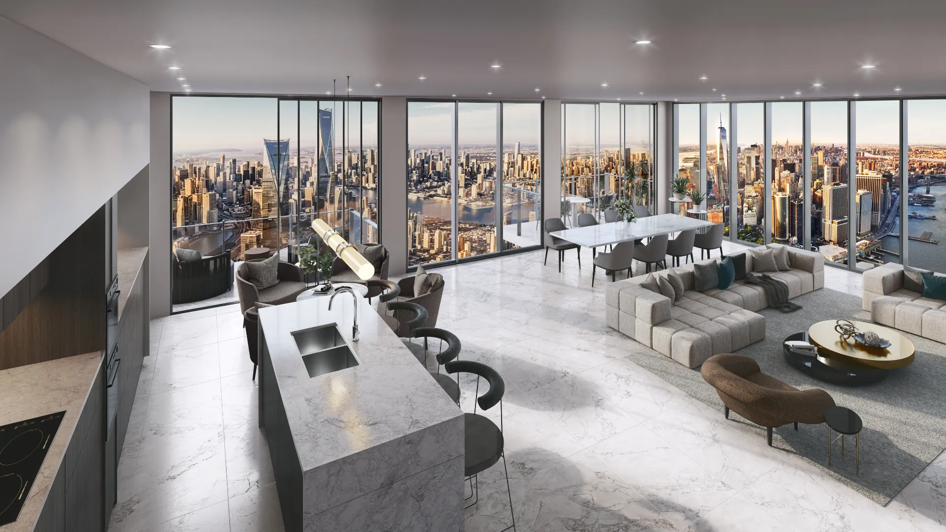
Aerial & Masterplan we’ve delivered
FAQ
About aerial & masterplan
Do you model the surrounding buildings accurately?
Yes. We work from survey, cadastral data and aerial imagery so neighboring massing is real rather than invented. For planning submissions that distinction matters.
Can you show the development in stages?
It is one of the most common requests. We build the full site once, then produce a frame per stage from the same scene — each additional stage costs a fraction of the first image.
Also from the studio
Exterior Visualization
Facades, elevations and streetscapes rendered at the fidelity a considered building deserves.
From $950Interior Visualization
Rooms rendered with the light, materials and styling that make a space feel lived in rather than assembled.
From $850Architectural Film
Cinematic film that moves through a building the way a person would, not the way a camera on rails does.
From $6,800Interactive & Virtual Tours
Navigable 360° environments for display suites, sales galleries and off-the-plan campaigns.
From $2,500